

Information
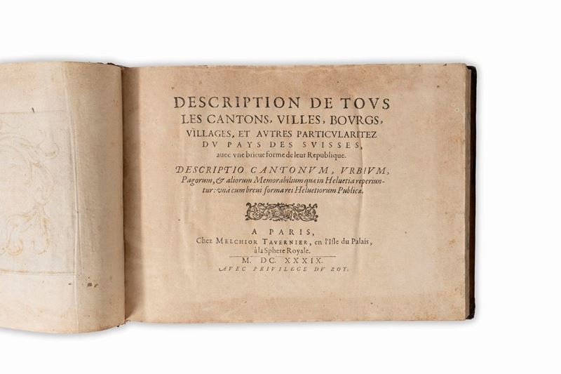
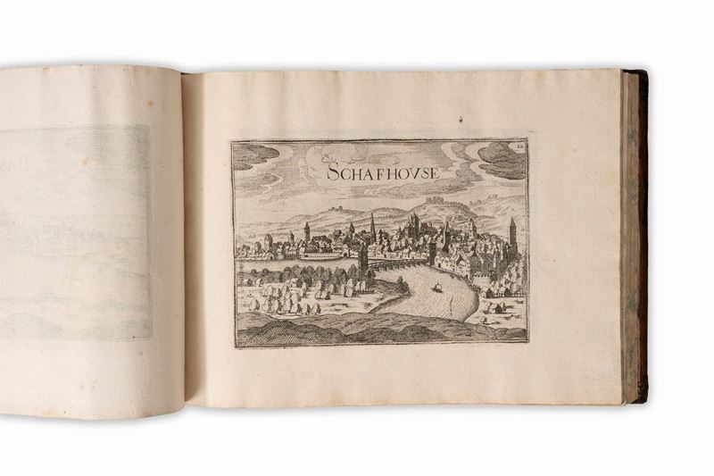
Paris, Sebastien Cramoisy-Melchior Tavernier, 1638. Oblong 4th in full leather. With golden fillets on the plates. 40pp, (5cc), 45 engraved plates; 27 engraved plates; 28 plates; 18 plates; 17 plates; 2+52 tables; 28 plates; 44pp, 3 plates +22 plates; 40 plates; 19 plates; 5 tables; 48 plates; 7 plates; 23 plates; 26 plates; 19 plates; 18 tab. For a total of 452 tables. Light browning, more intense on some leaves, slight water stain on the first installments, coeval leather binding, gold impressions on the plate, author in gold on the spine with 5 raised bands, slight defects. Together in the lot Tassin, Christophe Nicolas, Description of all the cantons, towns, and other particularities of the Pays des Suisses. Paris, Melchior Tavernier, 1639 1638 In 4th oblong in full leather. With golden fillets on the plates.(1cc), 64pp, 1cc+35 engraved plates of the cantons of Switzerland; 2cc+52 engraved plates of the Kingdoms and Provinces of Upper and Lower Germany; 3cc+68 engraved plates of all the Provinces of France and Spain. For a total of 161 tables. Light browning on the first installments, slight foxing, contemporary leather binding, gold impressions on the cover, author in gold on the spine with 5 raised bands, slight defects.
Specialist Notes
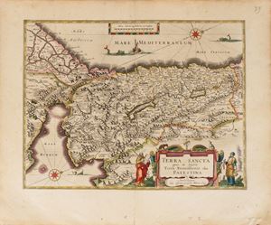
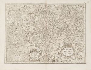
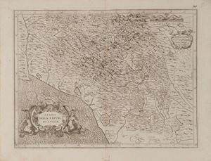
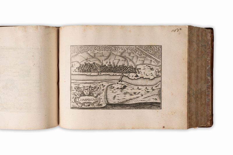
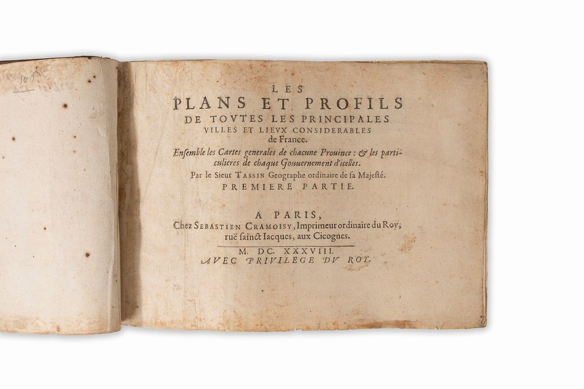
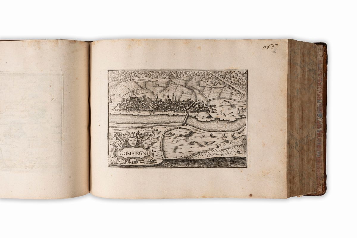
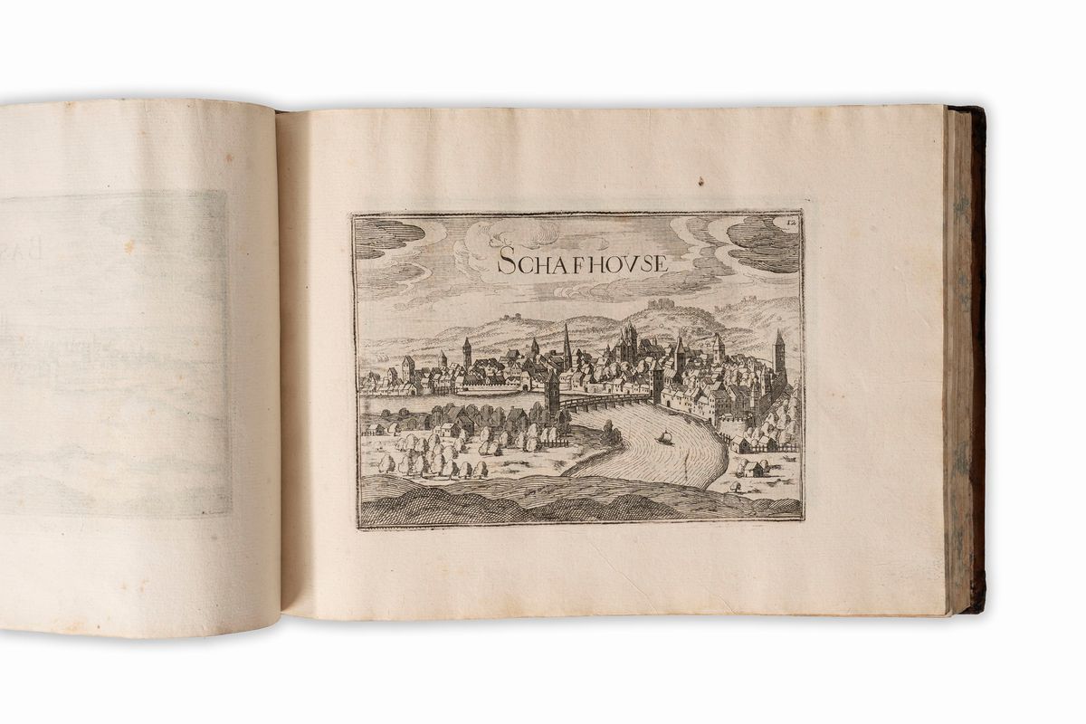
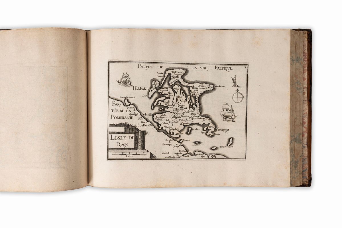
THE FIRST AND MOST COMPLETE REPRESENTATION OF FRANCE
"Christophe Tassin, the king's engineer and geographer, had close relationships with map publishers. In 1630 he became godfather of a daughter of Melchior Tavernier (Haag, La France Protestante, ix, p. 345).
On 15 November 1631 he obtained a ten-year license to "print and distribute general and special maps of France and of the neighboring kingdoms and provinces, with plans, profiles and elevations of all the cities and places of interest"; he therefore bore the title of commissaire ordinaire des guerres et géographe du roi(ordinary commissioner of war and geographer of the king). In a short time he delegated his privilege and within three years, between 1633 and 1635, he had all his engraved works published in editions shared by five booksellers : Melchior Tavernier, Jean Messager, Martin Gobert, Michel Van Lochom and Sébastien Cramoisy (Mireille Pastoureau, Les Atlas Français xviè et xviiè, Paris 1984, pp. 451-468).
A precious compendium dedicated by Christophe Tassin, the king's geographer, to the various cities of the reign of Louis XIII. Created at Richelieu's request, this work is of great importance for the topographical history of the time. It is the first work of this size to represent France in such a detailed and precise way. One of the most complete copies of the famous views of Tassin.
Contact
Condition report
To request a Condition Report, please contact libriestampe@finarte.it
The department will provide you with a general report of the condition of the property described above. Please note that what Finarte declares with respect to the state of conservation of the objects corresponds only to a qualified opinion and that we are not professional conservators or restorers.
We urge you to consult with a restorer or conservator of your choice who will be better able to provide a detailed, professional report. We always suggest prospective buyers to inspect each lot to satisfy themselves as to condition during the exhibition days as indicated in the catalog.
Suggested lots
Caricamento lotti suggeriti...