330
Atlante
Marzolla, Benedetto
Geographic Atlas Equipped with News Relating to Physical and Political Geography and in General to Statistics of the various Regions of the Globe, 1857
Estimate
€ 1.200 - 1.500
Sold
€ 2.816
The price includes buyer's premium
Do you have a similar item you would like to sell?
Information
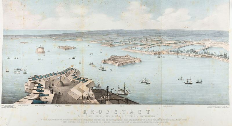
Naples, .s.e., 1858. In 2 °. Title page that also contains the index, followed by 56 tables, of which 55 double-page and one folded several times, with the outlines of the colored borders, two of them not present in the index, the "Independent Italy 1848" and the large panel of "Kronstadt from the narrow part of the canal closest to Petersburg", blooms, some stains and some restorations, & nbsp; & nbsp; & nbsp; Tied with & nbsp; Description & nbsp; of the realm & nbsp; delle & nbsp; two & nbsp; Sicilie & nbsp; per provincie , Naples, se, 1858. In 2 ° oblong. Frontispiece, followed by 25 double-page maps, with colored borders, the "Charter of the Kingdom" folded several times, & nbsp; the tables are accompanied by statistical, historical and geographical pictures, scattered blooms, the paper folded with tears, some stains and some restorations, binding of the period in half green leather, to the back & nbsp; engraved in gold by author, title, defects.
Specialist Notes
Contact
Suggested lots
Caricamento lotti suggeriti...


